***Pictures look better as a slide show -- click on one to start it.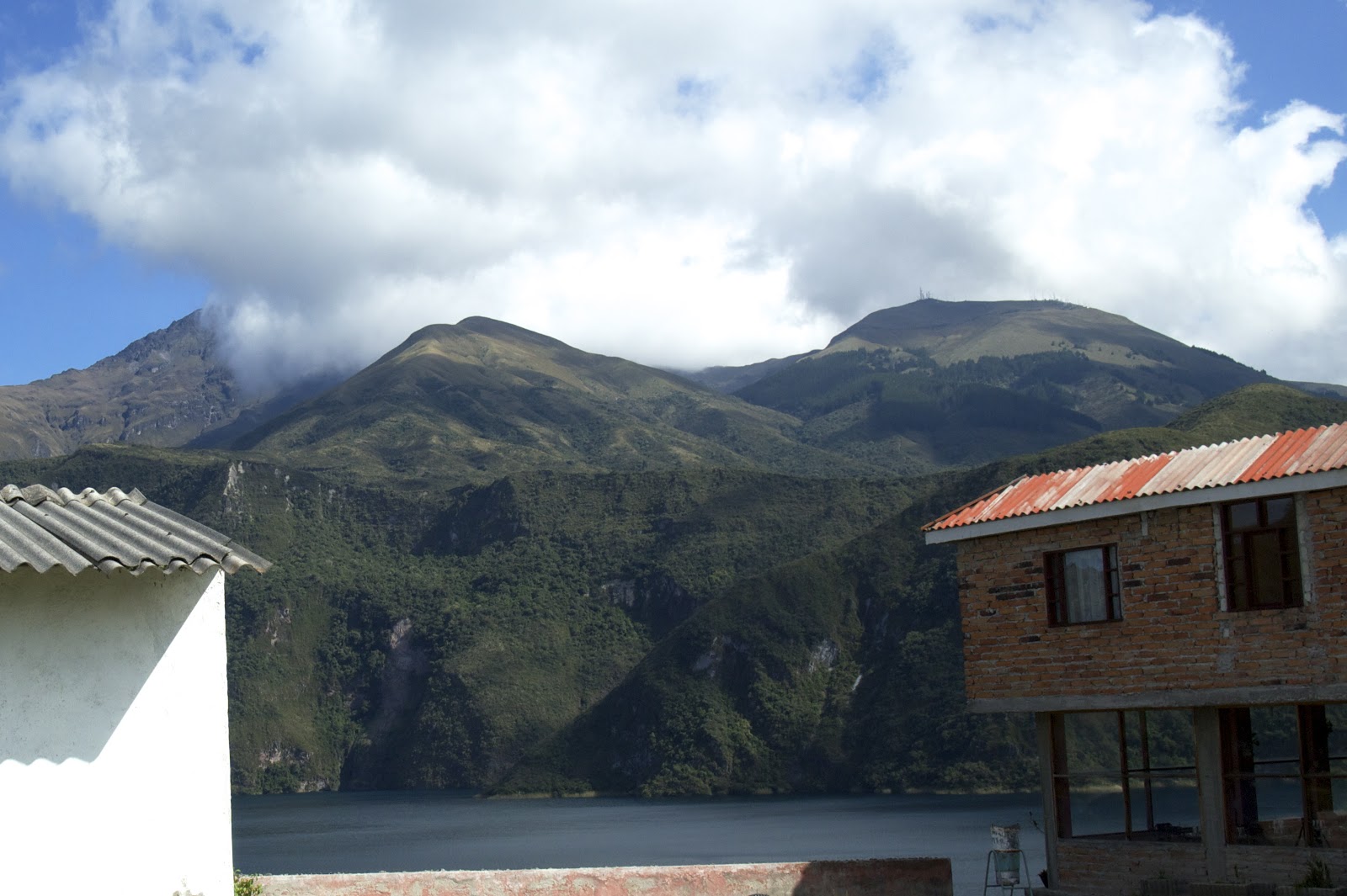 |
| Volcán Cotacachi lurking in the clouds in the background, the Mirador restaurant to the right, and just about half way through the frame is the rim of the crater that was left when the old volcano blew up. Pete and I set out to follow the trail around the lake, 14K total, plus the road. The high point of the trail is along the rim on the opposite side of Lago Cuicocha. |
 |
| At just over 10,000' Lago Cuicocha was left when the volcano blew up 3,000 years ago. Lago Cuicocha means lake of the guinea pig in Spanish and Kichwa. |
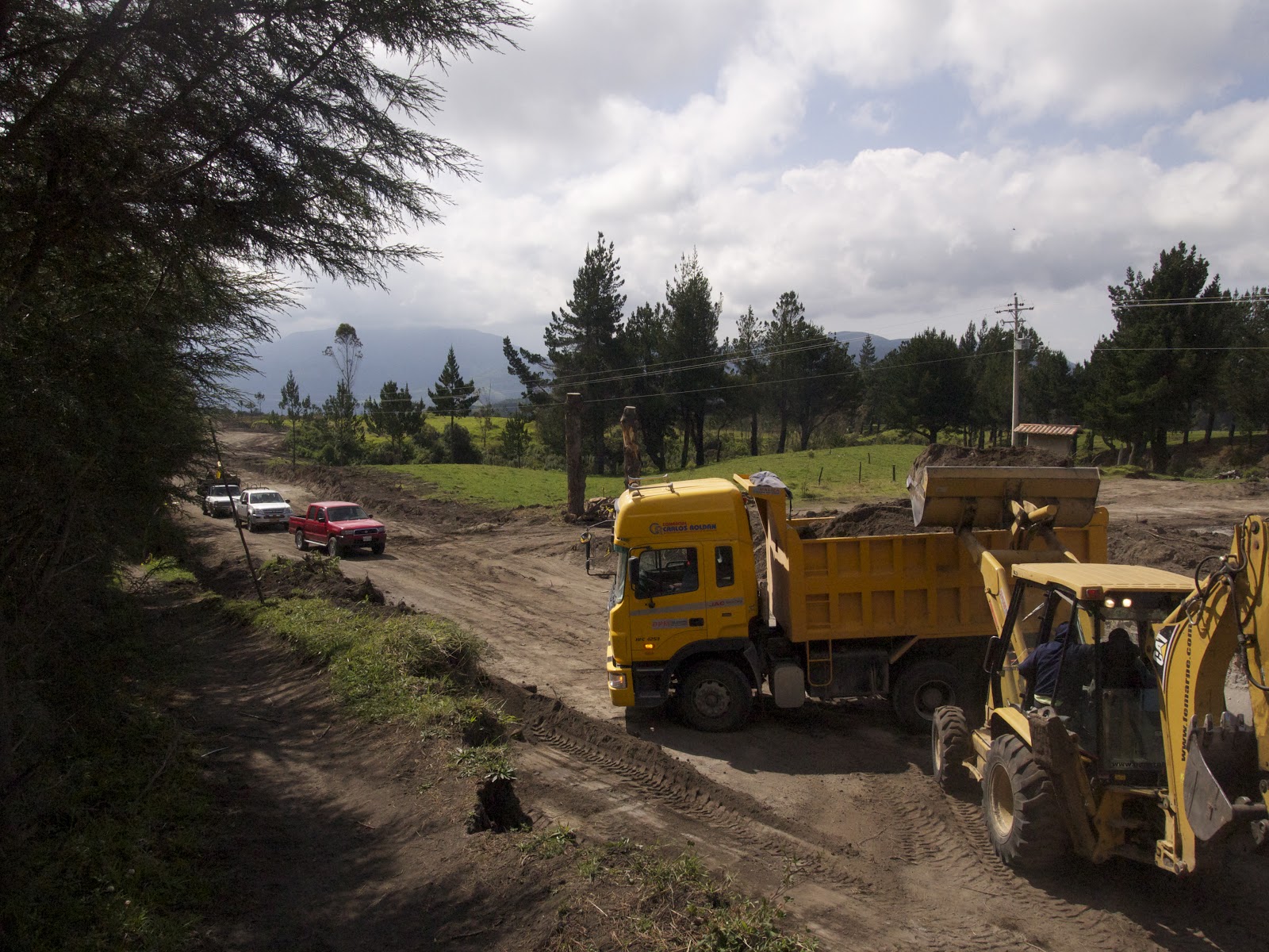 |
| After leaving the Mirador, we headed up the road to Intag which is being newly graded and slated to be paved -- in large part because a copper mine is being developed in that region. We caught a ride in a truck. It took Pete 3 tries to flag a truck, and I'm pretty sure he blames me for looking "too gringo." So I had a camera hanging around my neck and a hi-tech backpack... We got off at the trail head on the southwest end of the lake. |
 |
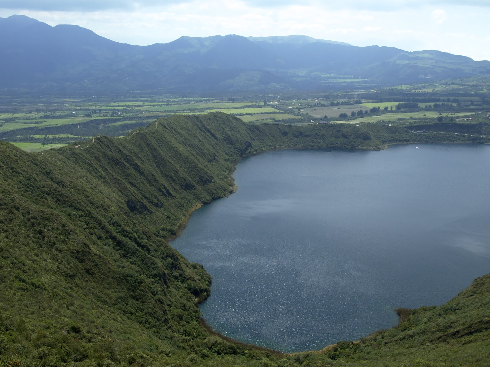
| The islands in the center of the lake are growing at a rate of 10cm per year. Eventually they will grow to form a new peak. |
 |
| At the edge of Cuicocha's micro-climate and the paramo just beyond the crater rim. |
 |
| Trusty Manchas, AKA Spot(s) |
 |
| The blooms around the lake were awesome, in part due to Cuicocha's micro-climate. |
 |
| Volcán Cotacachi, of Mamá Cotacachi emerged from the clouds. The peak stands at over 16,000', and the final spires are a technical climb. Not too difficult, but the steep consequences dictate rope protection for prudent climbers. |
 |
| Cuicocha's microclimate is essentially the same as northern coastal California or the Mediterranean coast in Europe. |
 |
| Existing in a handful of these types of craters in South America and Africa, these pockets hold moisture and heat, thus the biodiversity is greater. |
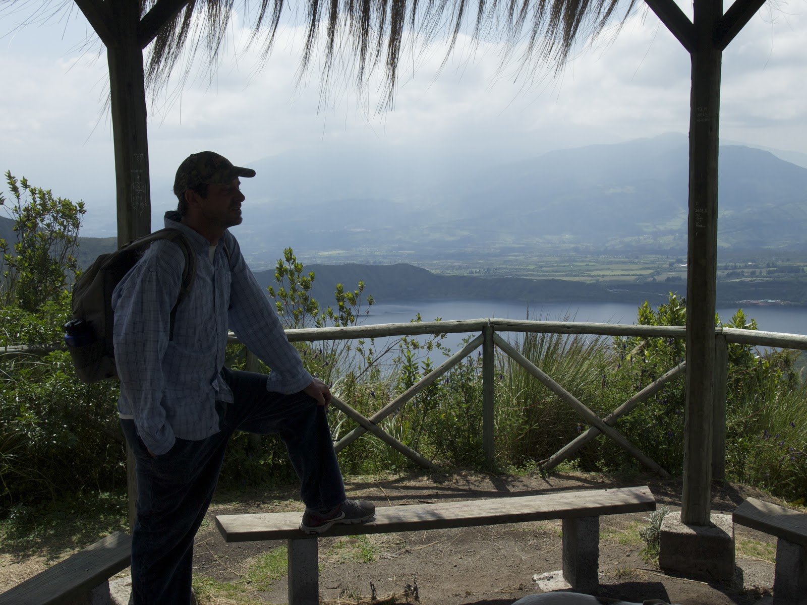 |
| Pete surveys the high point. Just to the right of the right post is the Mirador restaurant where we started and will end. |
 |
| Hand-cut trail |
 |
| Pete picking blueberries. There's a mimic bush with poisonous berries in the same area, but Pete assured me that these were safe. |
 |
| An orchid |
 |
| The green flower of the achupuela, a wild variety of pineapple. More like bark for humans, Andean Spectacled bears will come up out of the cloud forest to the paramo to chow on these. |
 |
| The final leg, on the east end of the crater. This ridge looks like it will have to be mountain-biked at some point. At the low point, you can see where the debris blew out of the mountain creating a huge pyroclastic flow of rock, mud, lava, and anything in its path. Earlier, I'd said the ravines below the lake were created by the flow, but I have since learned that the flow essentially filled in the valley. The deep ravines are the result of water moving down the soft volcanic soils and sand. We finished up at just over three leisurely hours by hitting the Mirador for lunch and beer. Good hike! |
Hey Justin! I'm sitting with my cup of coffee, looking at the photos of this hike, while the temps outside attempt to creep up to double digits. I wish I was there right now! Your hike reminds me of the one I took around Crater Lake in Oregon... but your surroundings were much more lush. THANKS for your continued posts and for letting us live vicariously through YOU! XOXO Sly
ReplyDeleteThank you, Sly -- it's my pleasure!
Deletethanks Justin for all of your posts especially for the wonderful pics.
ReplyDeleteJordan
DeleteThank you!